Tolleson Wastewater Treatment Plant
Fast Flight Facts
Target Species: Migrants, wintering raptors, woodpeckers, and sparrows
Elevation: 1000'
Habitat: Fields lined by pecan trees
Overall Birding Rating: 2
Difficulty: 1 (Easy)
Birding Type: Simple Walk
Facilities: Parking
Fees/Ownership: None/Tolleson Wastewater Treatment Plant
Closest Town or City/How far from Phoenix: Tolleson /11 miles southwest of Phoenix
Getting there: Reached just west of 91st Avenue off of Lower Buckeye Road
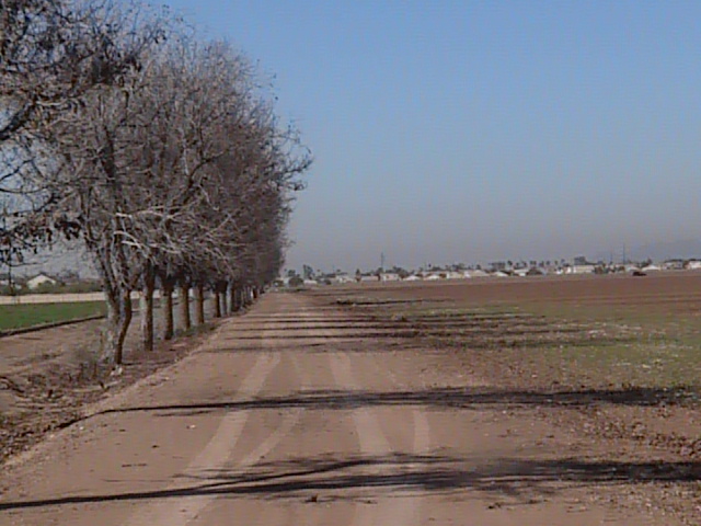
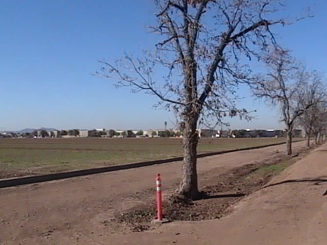
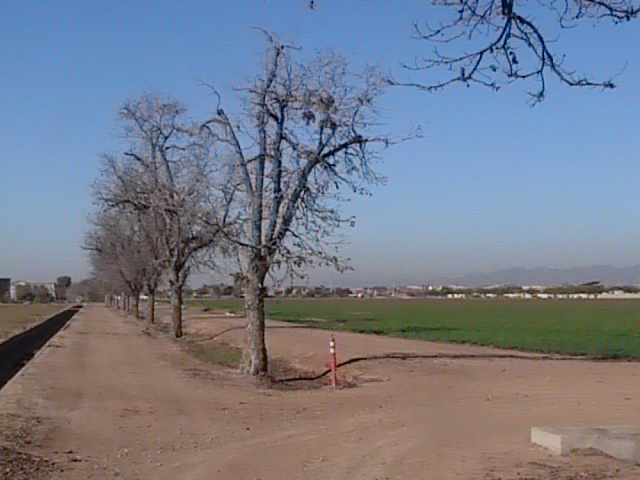
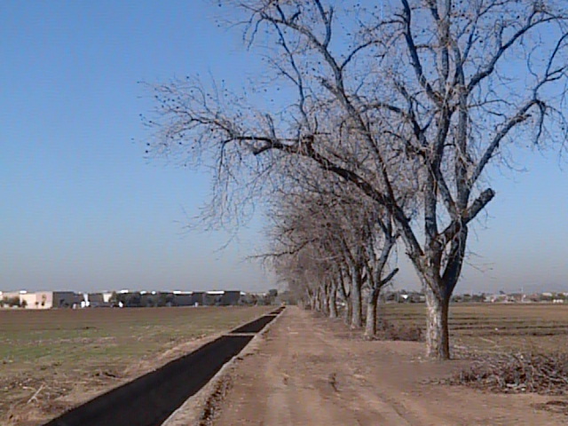
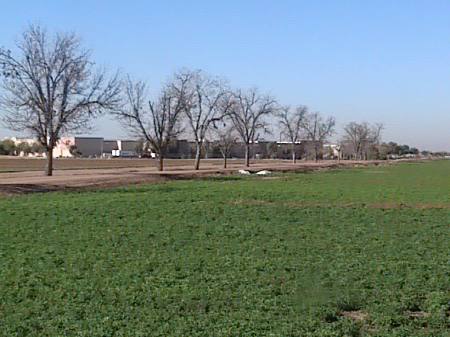
Overview: The area surrounding the Tolleson Wastewater Treatment Plant has farmfields that are lined with pecan trees. This place is often a productive spot for birding, especially in the migration and winter months. Well maintained dirt roads go through the fields and lines of pecan trees. The pecan trees are good for searching for different warblers and other migrating songbirds, woodpeckers, and perched raptors that use the area as hunting grounds. Scan the fields for birds that favor the grassland habitats such as different sparrows, pipits, etc.
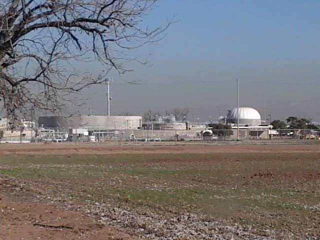
Birding Tip: Once arriving in the area, walk the roads and scan the pecan trees and the fields for different species. Walking the area is much better than driving. Be sure to stay away from the fenced in areas of the Tolleson Wastewater Treatment Plant.
Directions: If on the 1-10 West (Papago Freeway), take the 91st Avenue exit. Head south on 91st Avenue for 2.7 miles to Lower Buckeye Road. Turn west (right) on Lower Buckeye Road for 0.7 miles. As you are driving west down Lower Buckeye Road for the short distance, you start to come up on a shopping center. Right before the shopping center, watch for a dirt road pull off. Turn north (right) on this dirt road, and take your next right. Once continuing on this next right, park somewhere along the road and explore the area.
Pages:
Tolleson Wastewater Treatment Plant Maps
Scenes and Sights from the Tolleson Wastewater Treatment Plant:
Back to Area 7-Southwest Phoenix | 