Sun Lakes Community
Fast Flight Facts
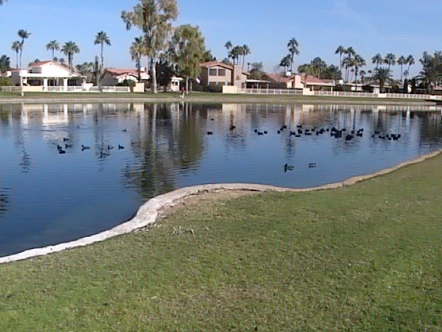
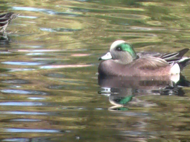
Target Species: Wintering waterfowl
Elevation: 1200'
Habitat: Ponds in midst of housing developments
Overall Birding Rating: 2
Difficulty: 1 (Easy)
Birding Type: Simple Walk
Facilities: None
Fees/Ownership: None/Sun Lakes Community
Closest Town or City/How far from Phoenix: Chandler /20 miles southeast of Phoenix
Getting there: From many different neighborhood roads in the area
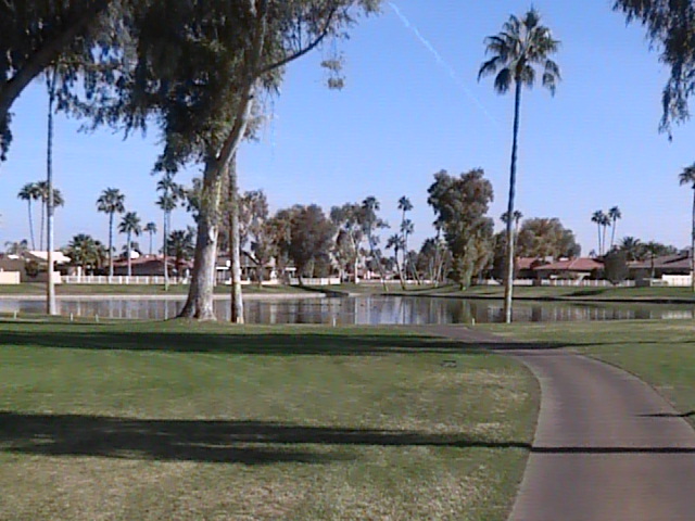
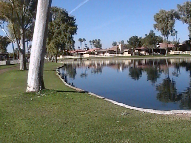
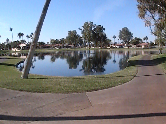
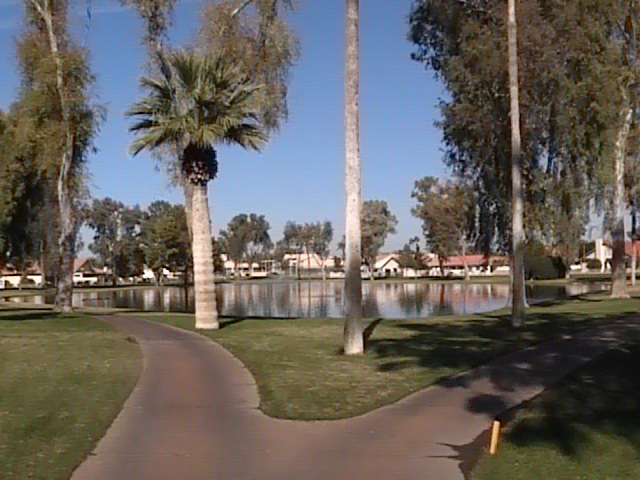
Overview: In the neighborhoods and communities of the Sun Lakes area, lies a series of ponds that are very productive for waterfowl. These ponds attract a high number of American Wigeon, making it a good place to keep an eye out for an occasional Eurasian Wigeon. Besides wigeon flocks, the ponds also attract other waterbirds and ducks. During the winter months, this area is always worth a stop. Paved paths around the ponds make walking around this area very easy. There are two different neighborhoods in this area, with both of them having these nice series of ponds in midst of a circular-like setting (see maps under the pages section below). The ponds are almost connected to each other in a way, which makes waterfowl viewing opportunities very easy. The western neighborhood in this community is bordered by Price Road on the west and Dobson Road on the east, and the eastern neighborhood is bordered by Dobson Road on the west and Alma School Road on the east. On another note, this community is barely north of the Maricopa/Pinal County border. Driving south on any of the bordering roads of will quickly take the birder to Indn Route 56, which is right on the county line of Maricopa and Pinal Counties.
Birding Tip: As mentioned above, this area is very easy to bird. Walk the paved paths around the ponds to search for different waterfowl and other birds in midst of the neighborhoods. Under the "pages" section on this page, study the maps for overviews of the locations for the different ponds.
Directions: The Sun Lakes Community is located southwest of Chandler. The areas it can best be birded are bordered by: Price Rd. on the west, Riggs Rd. on the north, Alma School Rd./104th St. on the east, and Indn Route 56 on the south (which is on the Maricopa/Pinal County lines). This area is best reached by taking freeway exits, especially the I-10 and a few different exits off of the Loop 202. By taking the Riggs Road exit off the 1-10, this area can be reached by taking Riggs Road 1.5 miles east from that exit. From the 202, this area can be reached by taking both the Price and Alma School Road exits about five miles south. Once reaching this area, there are many different roads going throughout this neighborhood community. Refer the the maps on the pages section for better overviews and visual understanding on accessing this area.
Pages:
Sun Lakes Community Maps
Scenes and Sights from Sun Lakes Community:

Birdlife of the Sun Lakes Community:
American Wigeon
Back to Area 4-Gilbert, Chandler, and Mesa |