Water Users Recreation Site
Fast Flight Facts
Target Species: Desert Riparian bird species
Elevation: 1400'
Habitat: Desert Riparian Habitat along the Salt River
Overall Birding Rating: 3
Difficulty: 2 (Fairly easy)
Birding Type: Easy to Moderate Hiking
Facilities: Parking, restrooms
Fees/Ownership: Six dollar Tonto National Forest Fee
Closest Town or City/How far from Phoenix: Mesa /31.5 miles east-northeast of Phoenix
Getting there: Accessed to parking area is right off the Bush Highway
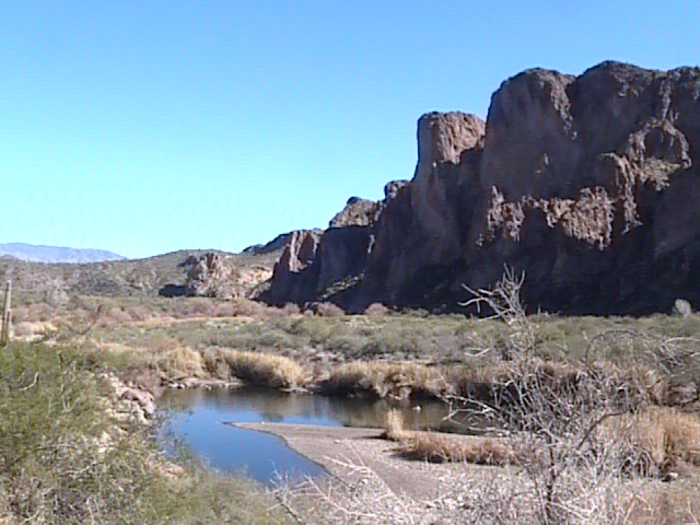
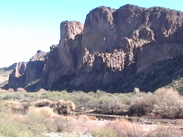
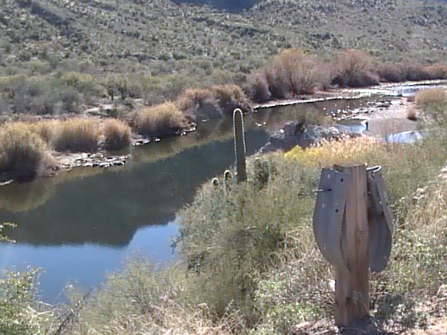
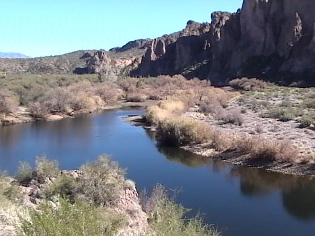
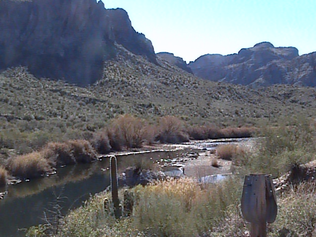
Overview: A beautiful and scenic sight is what first comes to mind when arriving at the Water Users Recreation Site. This area is shadowed by high cliffs, and is an incredible thing to see, especially being on site. The birding is good here too, and has good potential. However, the best birding habitat east of the parking lot is closed here half of the year, due to some of our desert nesting Bald Eagles nesting in the area. This area is mainly made up of desert and mesquite. Several patches of good willows are along the river stretch west and east of the parking lot, especially the east. To the east of the parking lot which is closed half of the year, there is a trail that goes through mixed habitat of mesquite, willow, and tamarisk, where a good mix of birds can often be found. There are nice open spots on the river here where waterfowl often reside.
Birding Tip: If here when Bald Eagle nesting is in effect, try birding the mesquites along the west side of the area. When the whole area is open, cover both sides very well, especially the east side. The east side of the area is much smaller than the west side, but has great habitat.
Directions: The Water Users Recreation Site will be on the south side of the Bush Highway and it's turnoff is located right by mile marker 31.
Pages:
Water Users Recreation Site Map
Water Users Recreation Site eBird Data
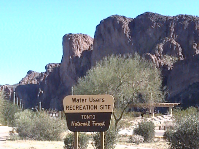
Scenes and Sights from the Water Users Recreation Site:
Back to Area 2-Lower Salt River Recreation Area | 