South Fork of the Little Colorado River
Birds of the South Fork of the Little Colorado River
Gray Catbird

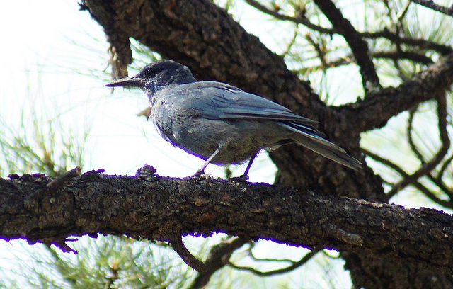
Pinyon Jay
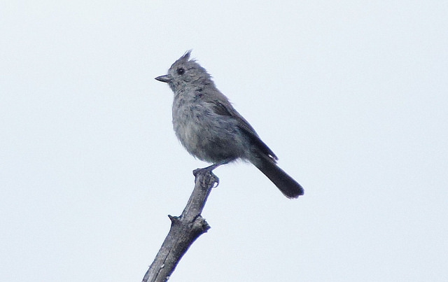
Juniper Titmouse
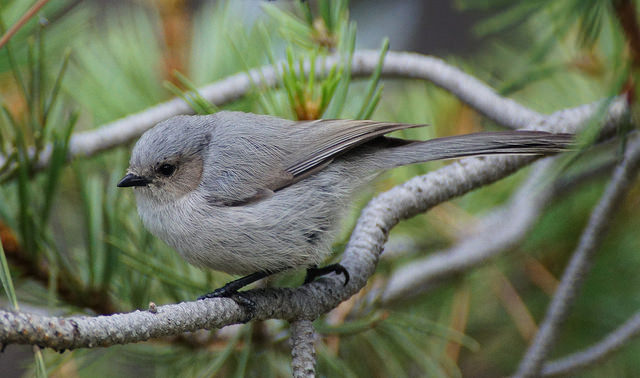
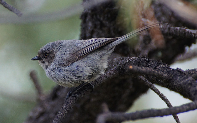
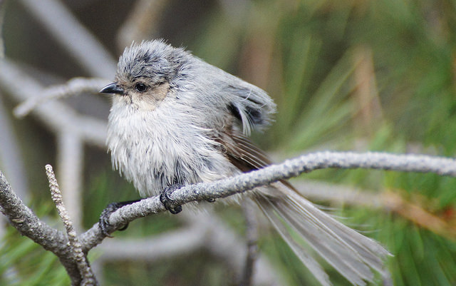
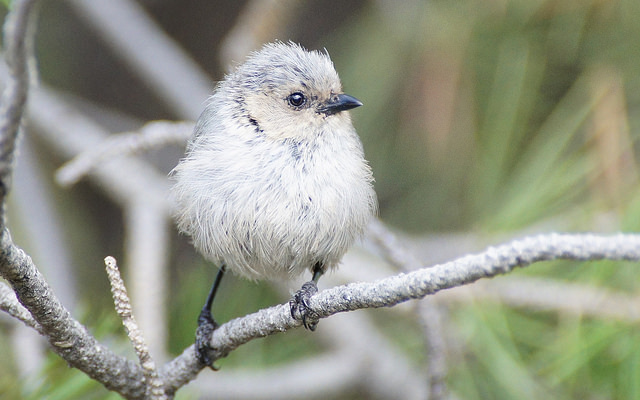
Bushtits
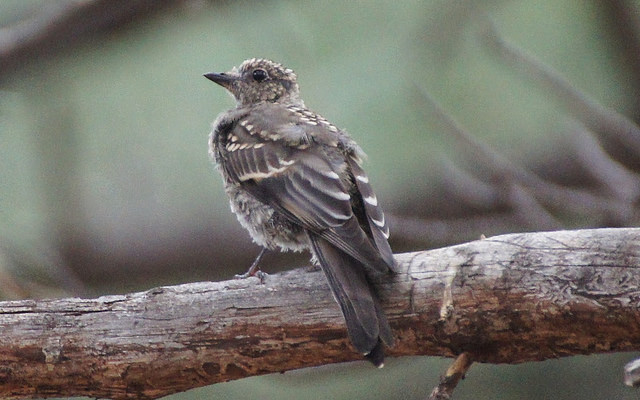
Townsend's Solitaire
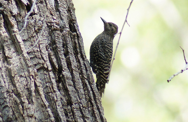
Williamson's Sapsucker
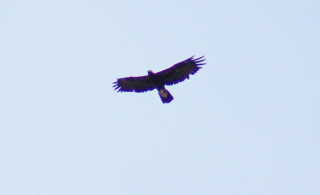
Golden Eagle
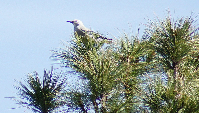
Clark's Nutcracker
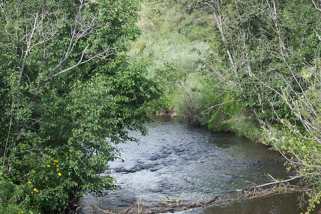
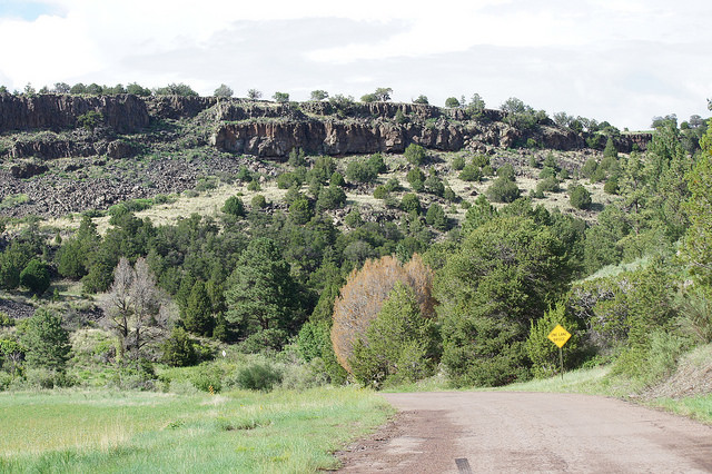
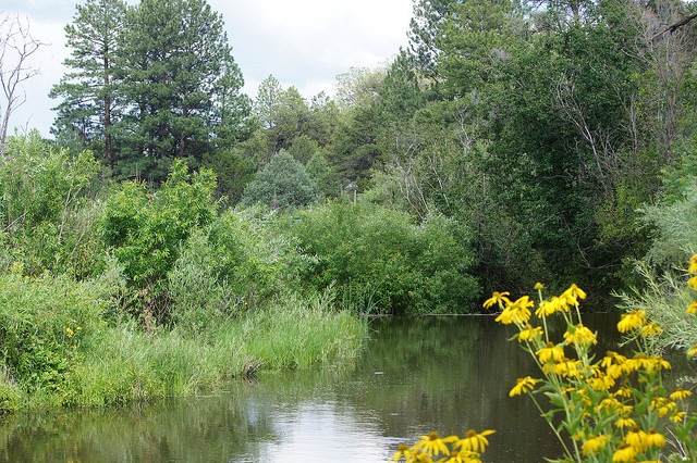
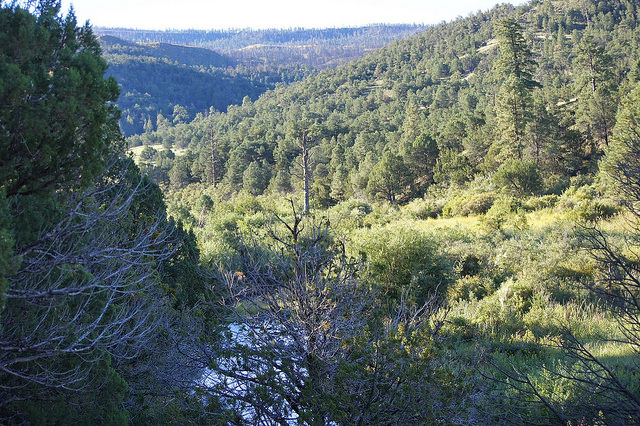
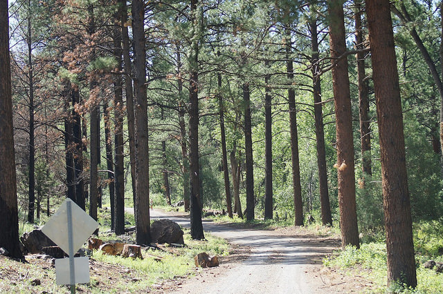
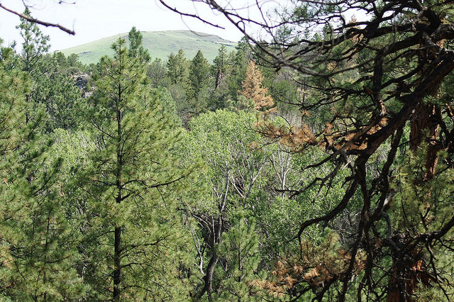
Scenes of the South Fork area of the Little Colorado River

eBird
On eBird, South Fork is split into two hotspots: South Fork of the Little Colorado River, and the South Fork Campground area in higher elevations. This area has an array of different habiats and rightfully so, it has two eBird hotspot locations. Links to both of them are below:
Little Colorado River--South Fork
Little Colorado River--South Fork CG
South Fork Maps
*Maps are owned by Google Earth
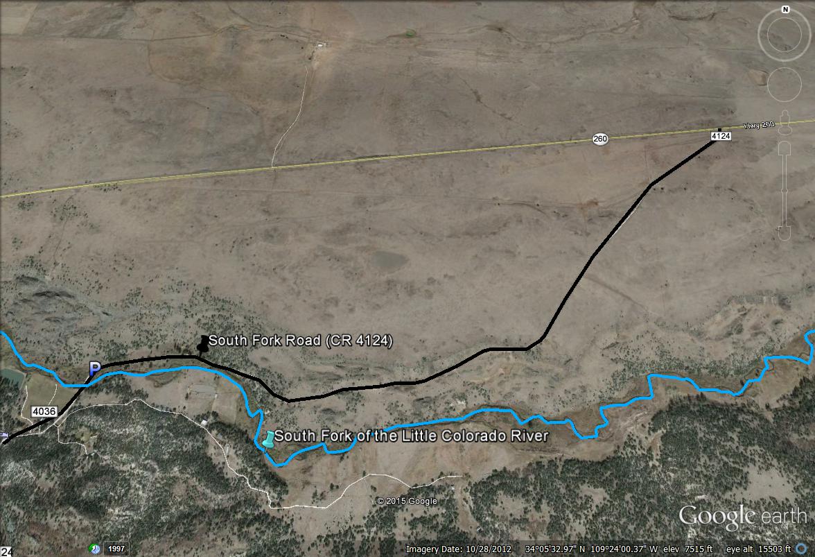
Map # 1: Accessing South Fork
The black line indicates South Fork Road (County Road 4124) while the blue line indicates the Little Colorado River. The Little Colorado River comes into contact with this road at 2 miles, where there is a convenient parking pulloff on the northeast side of the bridge that goes over the river. This immediate spot is a great birding location.
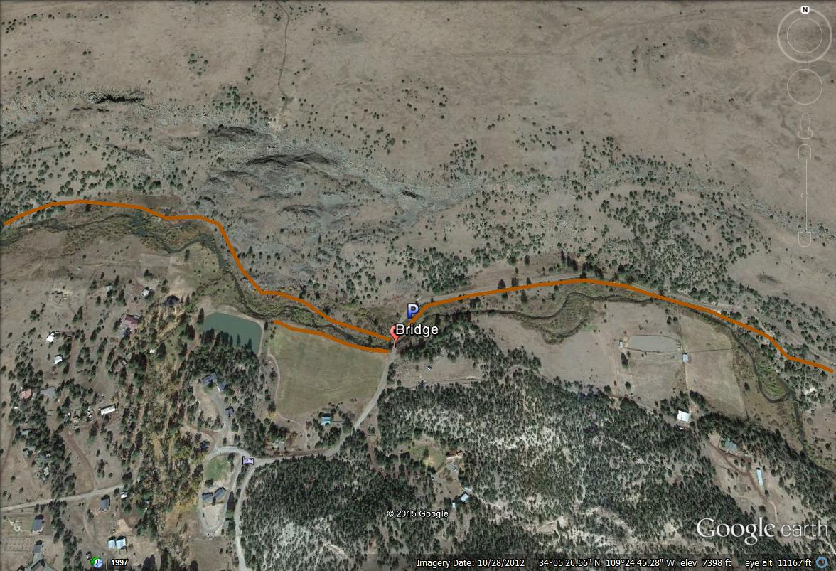
Map # 2
This map shows a closer view of where the Little Colorado River first comes into contact with the road. The brown lines show good areas to bird along the river, one section that follows the river northwest of the bridge, another short section that follows the river southwest of the bridge before reaching a private property boundary, and the other a stretch that can be birded along the river or easily along the main road northeast of the bridge.
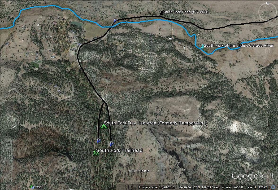
Map # 3
This last map for South Fork shows the southern stretch of the area. From the first area, go south to the South Fork Trailhead and South Fork Day Use Area for more birding in a cooler and higher elevation.
Back to Highway 260-East of Highway 373 to Eagar | 