Gillespie Dam

Fast Flight Facts
Target Species: Different waterbirds throughout the year
Elevation: 740'
Habitat: Open water along a wide stretch of the Gila River
Overall Birding Rating: 2
Difficulty: 1 (Easy)
Birding Type: Stopping and Scanning, Simple Walk
Facilities: None
Fees/Ownership: None/Private Property
Closest Town or City/How far from Phoenix: Buckeye /42.8 miles southwest of Phoenix
Getting there: Reached by parking roadside
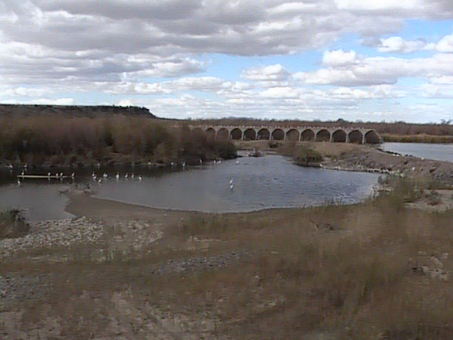
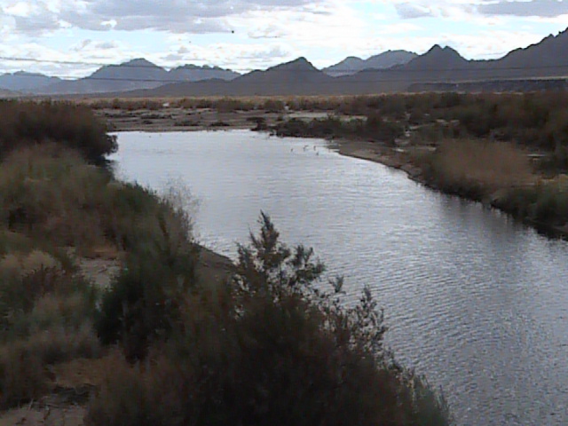
Overview: Gillespie Dam is a nice spot to stop right off of the Old Highway 80, as it is a good spot to look and scope for waterbirds of interest. It is a large body of water and has good potential to attract many different waterbirds both regular and rare. Waterbirds are usually present here in very large numbers. Ospreys and Belted Kingfishers are common in the winter months. Tamarisk forest surround this area that attract passerine migrants in season, and there is a rocky slope on the east that is good for Rock Wrens.
Directions: If coming south on the Old Highway 80, Gillespie Dam is about 17 miles from the start of the Old Highway 80, located barely north of mile marker 22. To reach the Old US 80, if coming south on Highway 85 for a few miles after exiting the I-10 freeway, the actual turnoff to the Old US Highway has been closed for sometime, with the detour being on Hazen Road, which is just north of the old turnoff to the 80. Turn right (west) onto Hazen Road and continue west to Wilson Avenue. Take a left at Wilson (south), until you reach the Old Highway 80. Once you reach the highway, turn right (west) which the Highway 80 goes all the way south to Gila Bend.
Pages:
Gillespie Dam Map
Gillespie Dam eBird Data
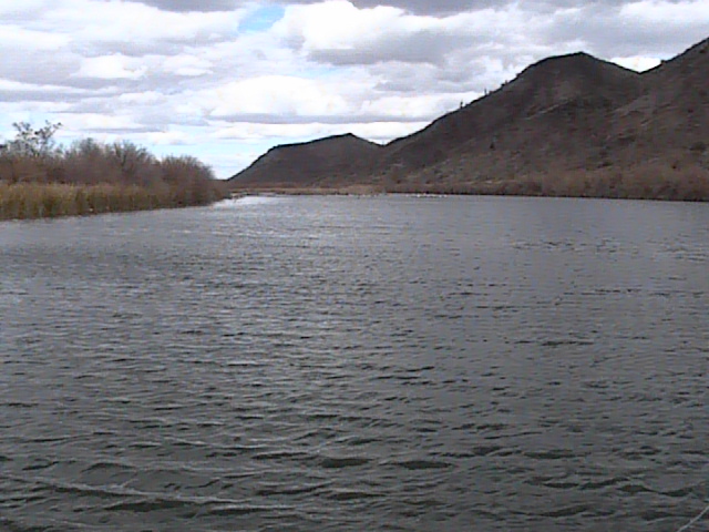
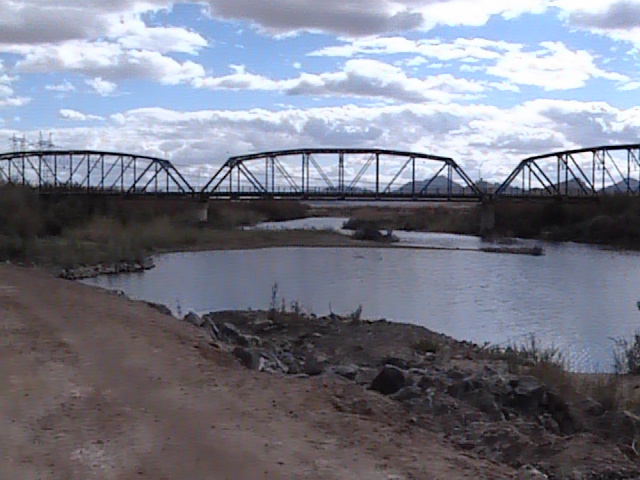
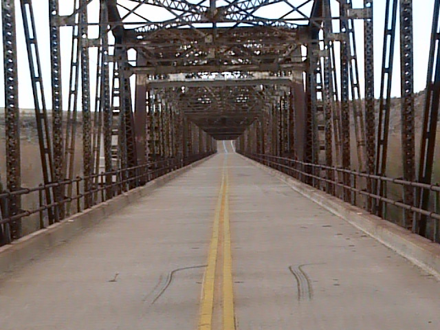
Scenes and Sights from Gillespie Dam:
Birdlife of Gillespie Dam:
Red-necked Grebe (Arizona rarity)

Red-necked and Clark's Grebes

Back to Area 8-Arlington to Gila Bend | 