Castle Hot Springs Road
Fast Flight Facts
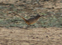
Target Species: Lower Sonoran Desert species
Elevation: 2000' +
Habitat: Lower Sonoran Desert in midst of desert canyons, cliffs, and washes
Overall Birding Rating: 3
Difficulty: 1-3 (Easy to Moderate)
Birding Type: Easy to Moderate Hiking, Get Out and Scan
Facilities: None
Fees/Ownership: None/Public Road
Closest Town or City/How far from Phoenix: Wickenburg, Wittman/ 31-41 miles northwest of Phoenix
Getting there: Reached from Highway 74 in two different places
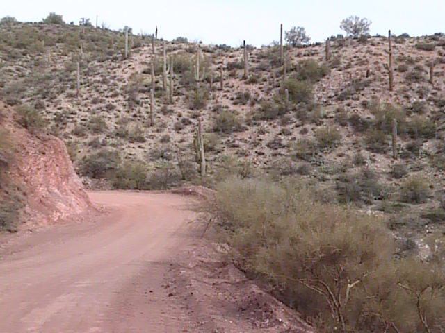
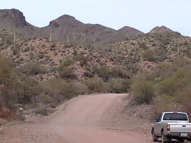
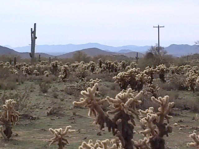
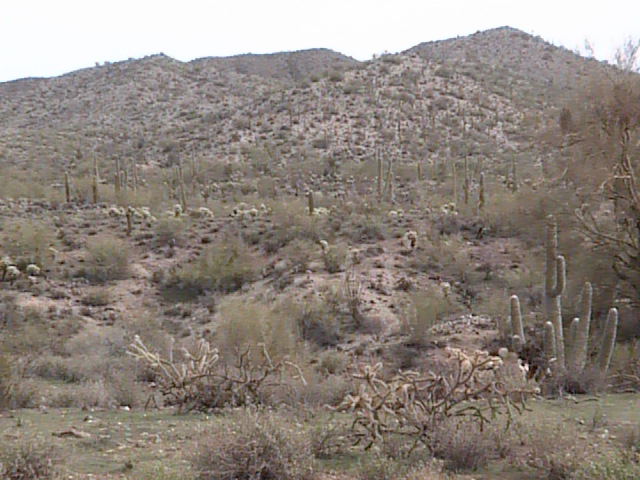
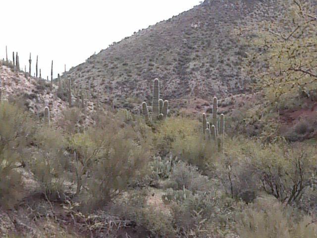
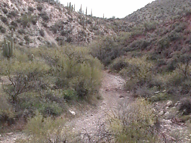
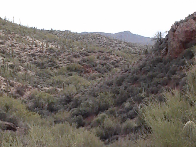
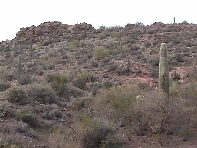
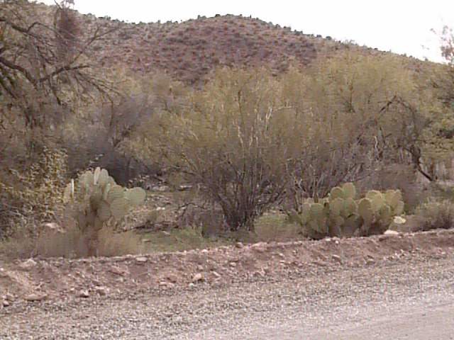
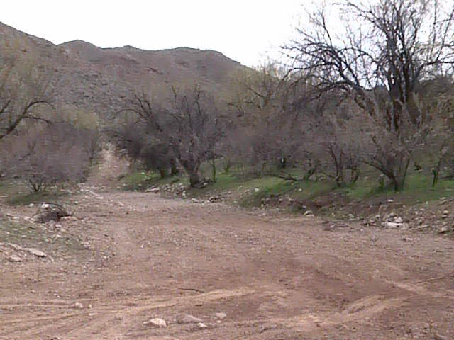
Overview: Castle Hot Springs is a long 36 mile loop drive through the wild back country of the Sonoran desert. This is a highly recommended and beautiful drive, running through both Maricopa and Yavapai Counties. The loop starts out at the very west end of the Carefree Highway and goes north of Lake Pleasant, eventually coming back south through Lake Pleasant and ending at the lake's access road. Scenic desert is all along this route, which takes the birder through desert canyons and washes. Most of the desert species will be found here. With the many canyons and washes, the area will also have good birding during the migration periods.
Birding Tip: A lot of this road is in Yavapai County, Maricopa makes up less than half of the drive. This road is also mostly a dirt road and can become flooded after rains, do use caution when in the area. Cell phone reception is also not good in spots, use appropriate precautions before attempting this long loop. For good birding success, search the different washes and canyons while driving this road.
Directions: Castle Hot Springs Road has two good access point. The first and western access point would be from the US 60 (Grand Avenue). Take this highway northwest and the turnoff to Castle Hot Springs Road will be between mile markers 121 and 122. The second access point to the east side of Castle Hot Springs Road would be on Highway 74 (Carefree Highway). Access Highway 74 by taking the I-17 Freeway north and taking the Highway 74 exit. Then head west 11.5 miles on Highway 74 to Castle Hot Springs Road, which is also the road that accesses Lake Pleasant Regional Park. Out of the 36 miles of Castle Hot Springs Road, 14.5 of it is in Maricopa County, 10 on the west side of the loop and 4.5 on the east side of the loop.
Pages:
Castle Hot Springs Road Maps
Scenes and Sights from Castle Hot Springs Road:
Back to Area 10-Northwest Maricopa
|