Sycamore Creek at Mile Marker 212-213
Fast Flight Facts
Target Species: Desert and riparian birds
Elevation: 2400'
Habitat: Desert Riparian Habitat with a flowing creek.
Overall Birding Rating: 4
Difficulty: 3 (Moderate)
Birding Type: Moderate Hiking, Wading
Facilities: None; Convenient pull offs for parking, camping, and recreation purposes
Fees/Ownership: No fees, part of the Tonto National Forest
Closest Town or City/How far from Phoenix: Sunflower (closest town); 41 miles northeast of Phoenix
Getting there: Accessed from both sides of Highway 87 by well maintained dirt roads that lead shortly to parking areas.
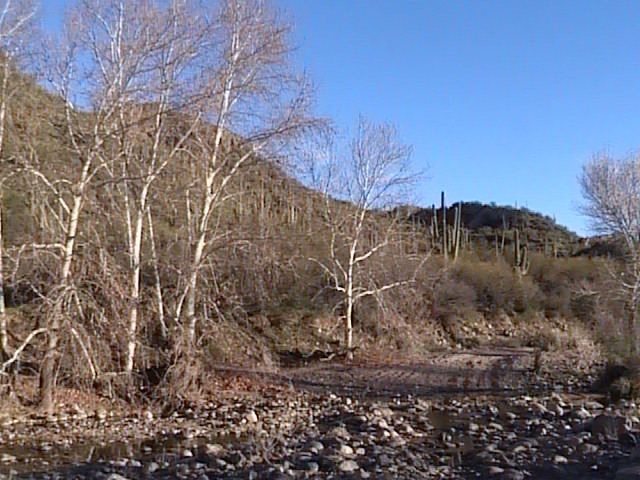
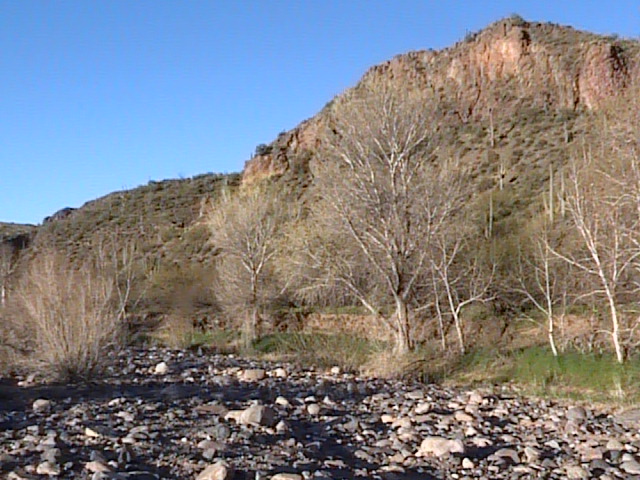
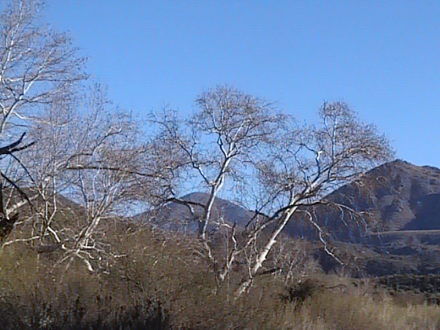
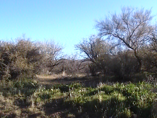
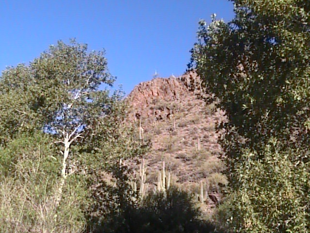
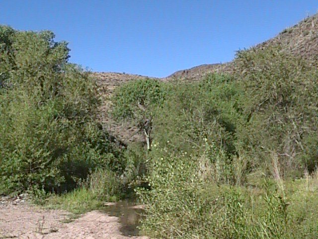
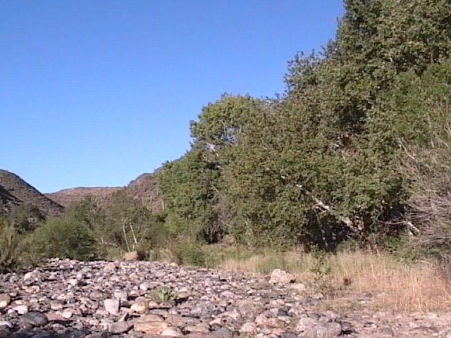
Overview: The extensive Sycamore Creek offers birders several productive stops and "hotspots" to explore. One of Sycamore Creek's good birding stops comes more in the middle of the hotspots accessed along Highway 87. This location can be found easily off Highway 87 (Beeline Highway) between mile markers 212 and 213, giving it the name, "Sycamore Creek at Mile Marker 212-213". Sycamore Creek can be explored here on both the east and west sides of the Beeline Highway, where good birding opportunities will present themselves at all times throughout the year. Towering mountains and canyons over Sycamore Creek make this location extra beautiful and scenic. The canyons and surrounding mountains form a narrow riparian canyon. This lush area is in the middle of the Sonoran Desert, and is highly made up of sycamores and mesquites in the more open areas. Cottonwoods and good willow habitat add to the creek habitats as the creek goes through the narrow and shady canyons. This is yet another place with good variety of desert riparian habitat can be found along Highway 87. If your driving on the highway, be sure to pull of on Sycamore Creek between mile markers 212 and 213, it's worth the exploration!
Birding Tip: This is a very large area to explore. For better habitat diversity, bird on the west side of the Beeline Highway. Follow Sycamore Creek on different paths and roads throughout the area, where the different habitats can easily be explored. The creek will soon lead to a lush habitat, where willows and cottonwoods also join the sycamore and mesquite mix. Both migrations will be productive in this area. Sycamore Creek has to be crossed a lot at this spot, so bring a pair of shoes to get wet. A lot of the creek crossings are rather easy to cross before they become more difficult.
Directions: From the intersection of Highway 87 and Shea Boulevard, take Highway 87 north for 23 miles. Pull off on Sycamore Creek on either the east or west side of the Highway between mile markers 212 and 213, where a sign stating "Sycamore Creek" as a pull off is very noticeable. Dirt roads lead to the parking areas for this spot shortly after pulling off Highway 87.
Pages:
Sycamore Creek at Mile Marker 212-213 Maps
Take Me There (Google Map)
Scenes and Sights from Sycamore Creek at Mile Marker 212-213:
Winter
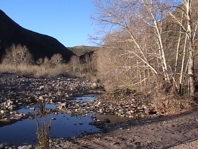
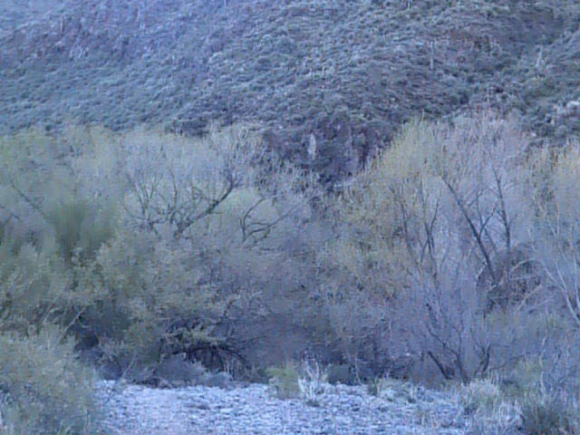
Spring, Summer
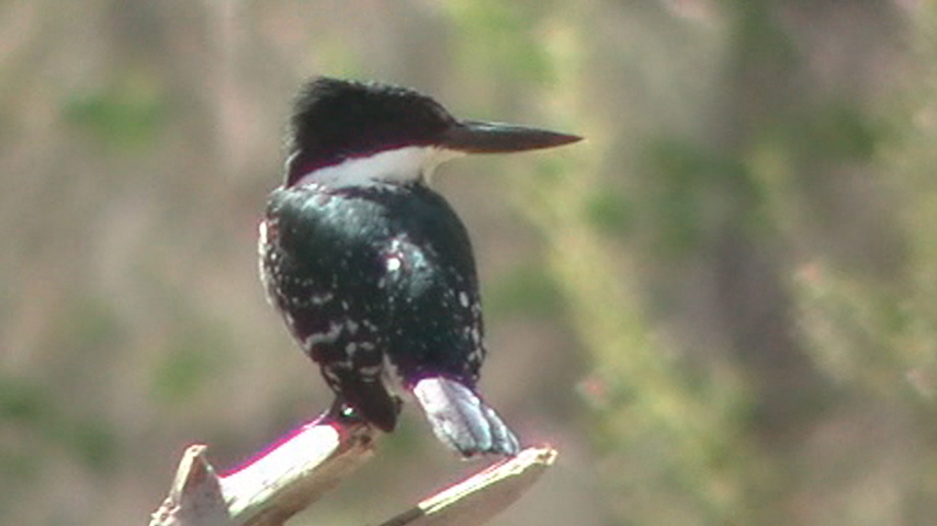
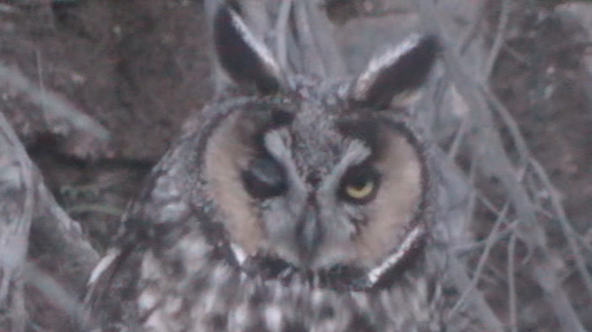
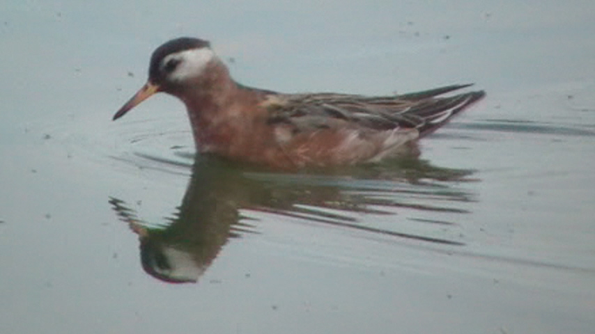
Bird life of Sycamore Creek at Mile Marker 212-213:
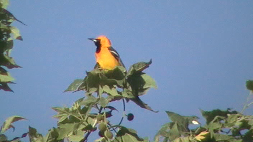
Hooded Oriole
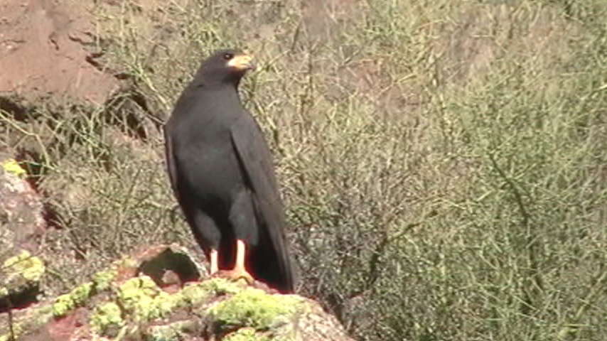
Common Black-Hawk
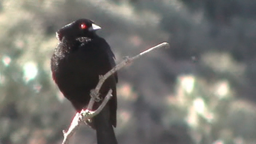
Bronzed Cowbird
Back to Area 1-Highway 87 from Desert to the High Country |